BACK TO RESEARCH WITH IMPACT: FNR HIGHLIGHTS
BACK TO RESEARCH WITH IMPACT: FNR HIGHLIGHTS
Flooding presents a major hazard in both rural and urban areas. Luxembourg was also affected by the significant floods that devastated parts of Germany in July 2021. With the goal of predicting areas that will flood, scientists are working on various aspects of flood-mapping using satellite data.
It is estimated that the losses caused by floods in the years 2016 – 2035 will rack up a bill of nearly 600 billion US Dollars (around 510 B EUR). By mapping floods as they occur, it is not only possible for governments and disaster relief organisations to identify the flood-affected areas – scientists can use them to predict: The large-scale flood maps can be used by hydrologists in the flood-predicting models, ultimately helping bring down human and economic losses.

The increasing availability of Earth Observation satellites with different frequencies, polarisations and resolutions has made it possible for Synthetic Aperture Radar-based (SAR-based) flood mapping to develop rapidly in the last decades. Using these SAR satellites and a variety of flood mapping algorithms, flood maps can be generated quickly after the flood happens, making it possible for post-flood relief to be organised.
However, when it comes to large-scale flood mapping, the accuracy of previous flood mapping methods may not be high. This is mainly because these methods are unable to deal with areas covering different land covers and topography conditions. Automation is needed – exactly what remote sensing scientist Jie Zhao from LIST is working on:
“Many large-scale flood mapping methods have been developed and tested on specific sites and events while systematic applications of algorithms on large datasets are rare. Thus, limitations might exist when it comes to automatically generate a flood record at a global scale because of different land use and climate conditions.”
“The proposed method developed as part of my research has been tested over the entire UK using 74 ENVISAT ASAR SAR images, in order to have a systematic application over a large scale. In this large study area, we can investigate the influenced factors from different land covers, different weather conditions, and data acquisition characteristics.”
“We proposed a fully automatic SAR-based flood mapping algorithm using Envisat Wide Swath data, which is able to identify flood images and optimal reference images from data archives and estimate flood hazards globally. Meanwhile, the local incidence angle effect on SAR backscattering has been accounted for, allowing large-scale flood mapping.”
Jie explains the team tested different combinations of image pairs and checked the results manually one by one, a time-consuming task. Then, by chance, a clear distinction between flood images and non-flood images appeared when summarising the results.
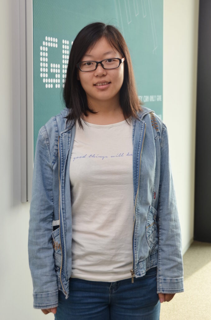
Jie Zhao is a 4th year PhD researcher at the Luxembourg Institute of Science and Technology (LIST). Jie’s PhD project part of the FNR-funded Doctoral Training Unit (DTU) ‘Towards a holistic understanding of river systems: Innovative methodologies for unravelling hydrological, chemical and biological interactions across multiple scales’ (HYDRO-CSI).
MORE ABOUT JIE ZHAO
On how her research is useful to colleagues
“Research is always teamwork while discussions and brainstorming sessions are also necessary. Besides, our research topics are related to each other. I am from the Hydro-CSI project containing 14 Ph.D. students from different disciplines. My research results can be used as input data for another colleague.”
On choosing her research topic
“My interest in floods started in my childhood because my hometown is affected by floods frequently. I understood how people are affected by floods and would like to make some contributions to improve this situation. Regarding my interests and my background, I found the remote sensing group at LIST.”
About Spotlight on Young Researchers
Spotlight on Young Researchers is an FNR initiative to highlight early career researchers across the world who have a connection to Luxembourg, with nearly 100 features published since 2016.


RELATED FUNDING